Index to the plates
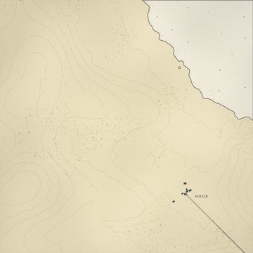 1Plate 1, Hollin and the north shore
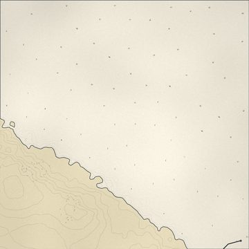 2Plate 2, Brae Carrow and Serrin
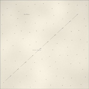 3Plate 3, Harbour approaches
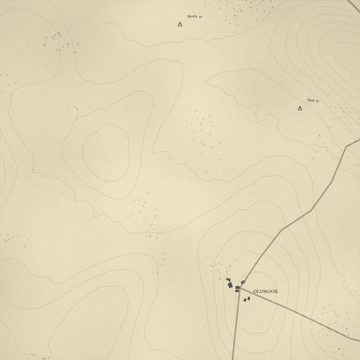 4Plate 4, Oldmoor and Gannet
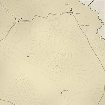 5Plate 5, Serrin harbour and Cape Morren
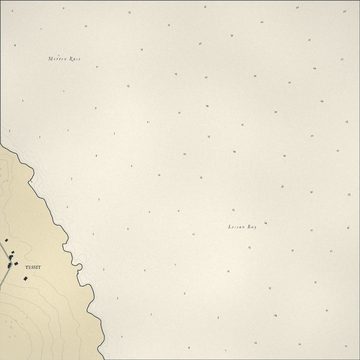 6Plate 6, Tessit and Lessan Bay
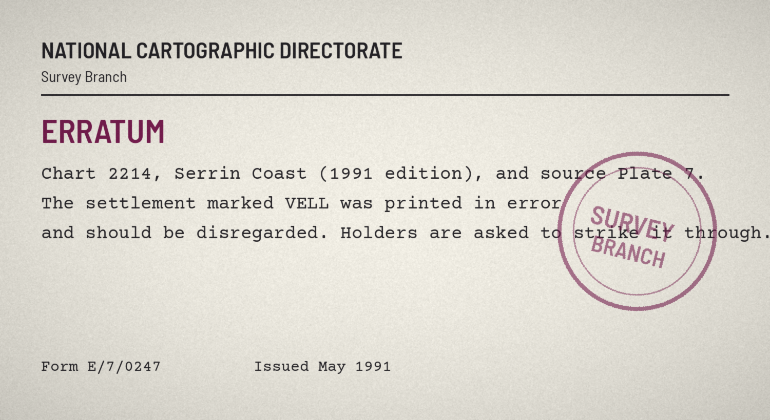
7withdrawn
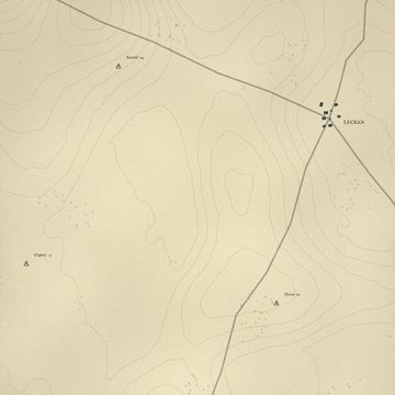 8Plate 8, Kestrel and Leckan
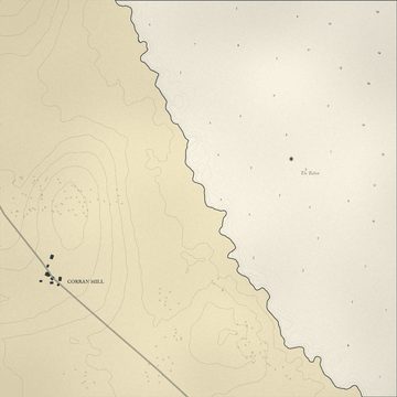 9Plate 9, Corran Mill and the Tallow
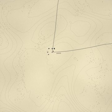 10Plate 10, Ansty
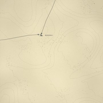 11Plate 11, Whinfold
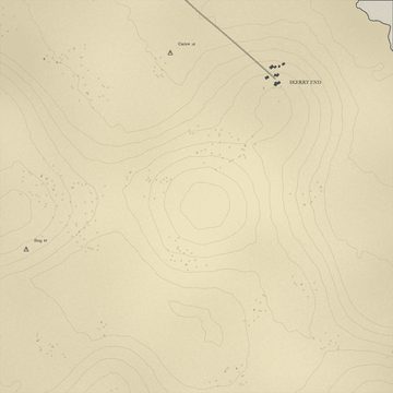 12Plate 12, Skerry End and Curlew
The Serrin Coast Survey charted this shore from 1971 until 1989: three people, one boat and twelve plates at a scale of 1:10,000. Two of its three members are no longer with us. Its plates are.
Twelve plates were drawn. Eleven are here.